TECHNICAL & RESEARCH SUPPORT FOR GLOBAL ARCHAEOLOGY
Origin Archaeological Research (OAR) provides independent, technical support assets for terrestrial archaeological projects. We integrate cutting-edge science and field methods to deliver highly accurate spatial and historical data. Our operations are engineered to manage the complex physical and digital demands of modern landscape survey, ensuring that every asset we deploy enhances the baseline value of your investigation. By focusing on non-invasive sub-surface exploration, precision terrain tracking, and rigorous spatial documentation, we translate complex raw environments into clean, actionable datasets. We function as a seamless technical extension for academic research teams, university field schools, and primary Cultural Resource Management (CRM) contractors, expanding your team's operational capabilities while maintaining the absolute physical integrity of terrestrial sites.
TERRESTRIAL ASSETS
OAR On Land deploys high-precision technology and dedicated personnel to optimize data acquisition and spatial analysis across complex inland landscapes. Our terrestrial operations are engineered to transform raw fieldwork into highly structured, compliant spatial assets, ensuring maximum accuracy from initial reconnaissance to final reporting.
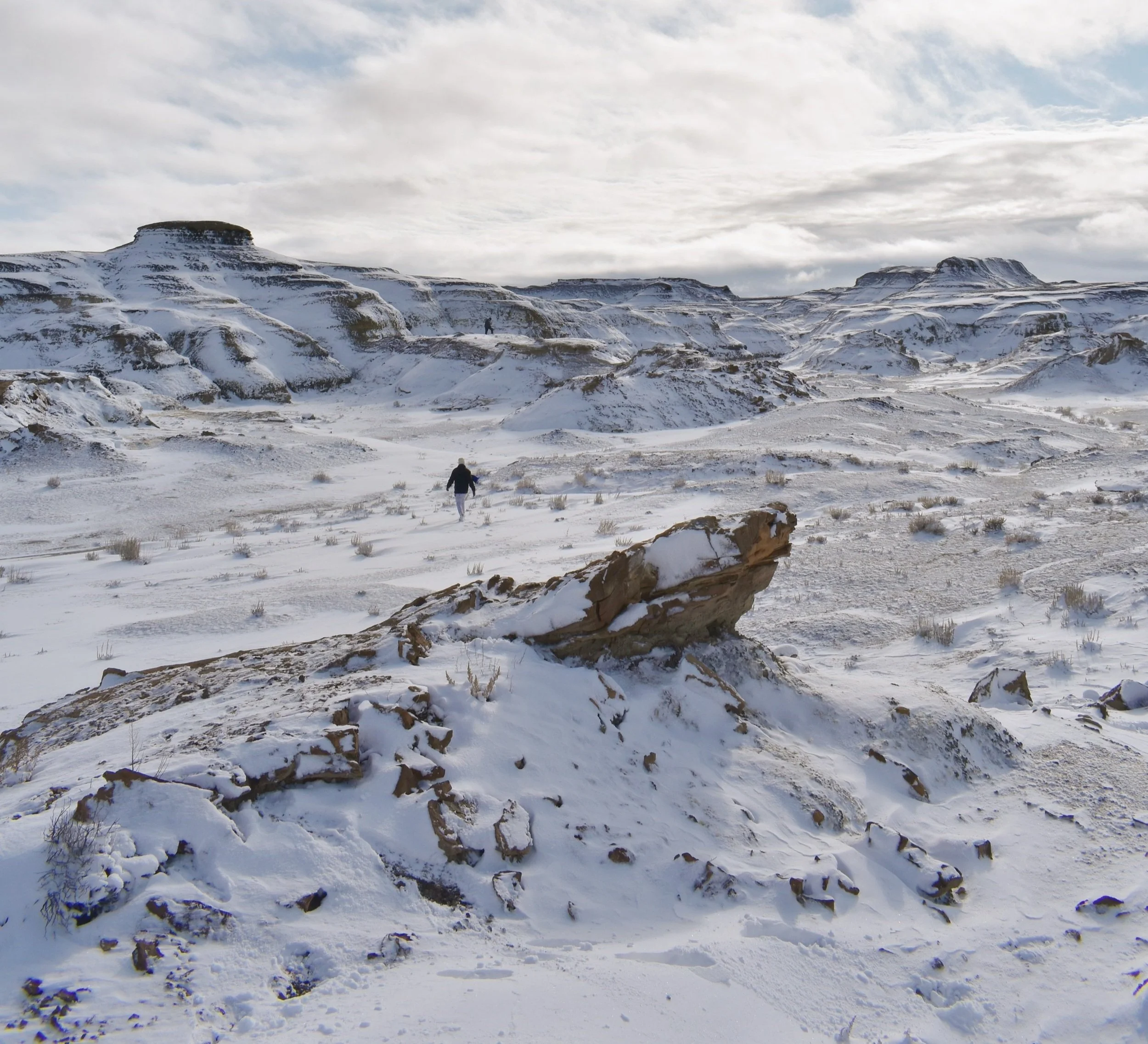
Geospatial Mapping: Ground-based mapping, topographic modeling, and GIS analysis to construct detailed spatial profiles of historical landscapes. Our teams utilize precision land survey techniques and advanced spatial software to transform raw geographical data into high-resolution terrain models and digital elevation frameworks. By analyzing micro-topographic variations, slope gradients, and natural drainage patterns, we can visualize how early populations interacted with their environment and trace the subtle surface signatures of past human settlements across changing landscapes.
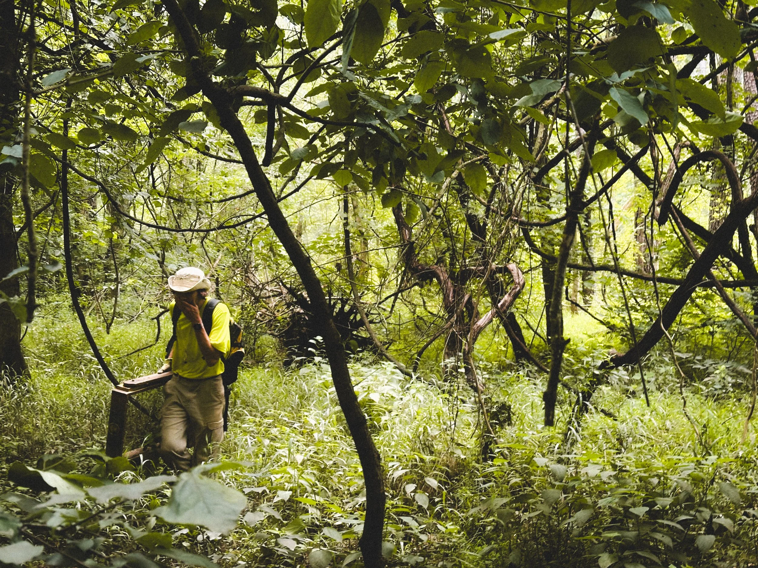
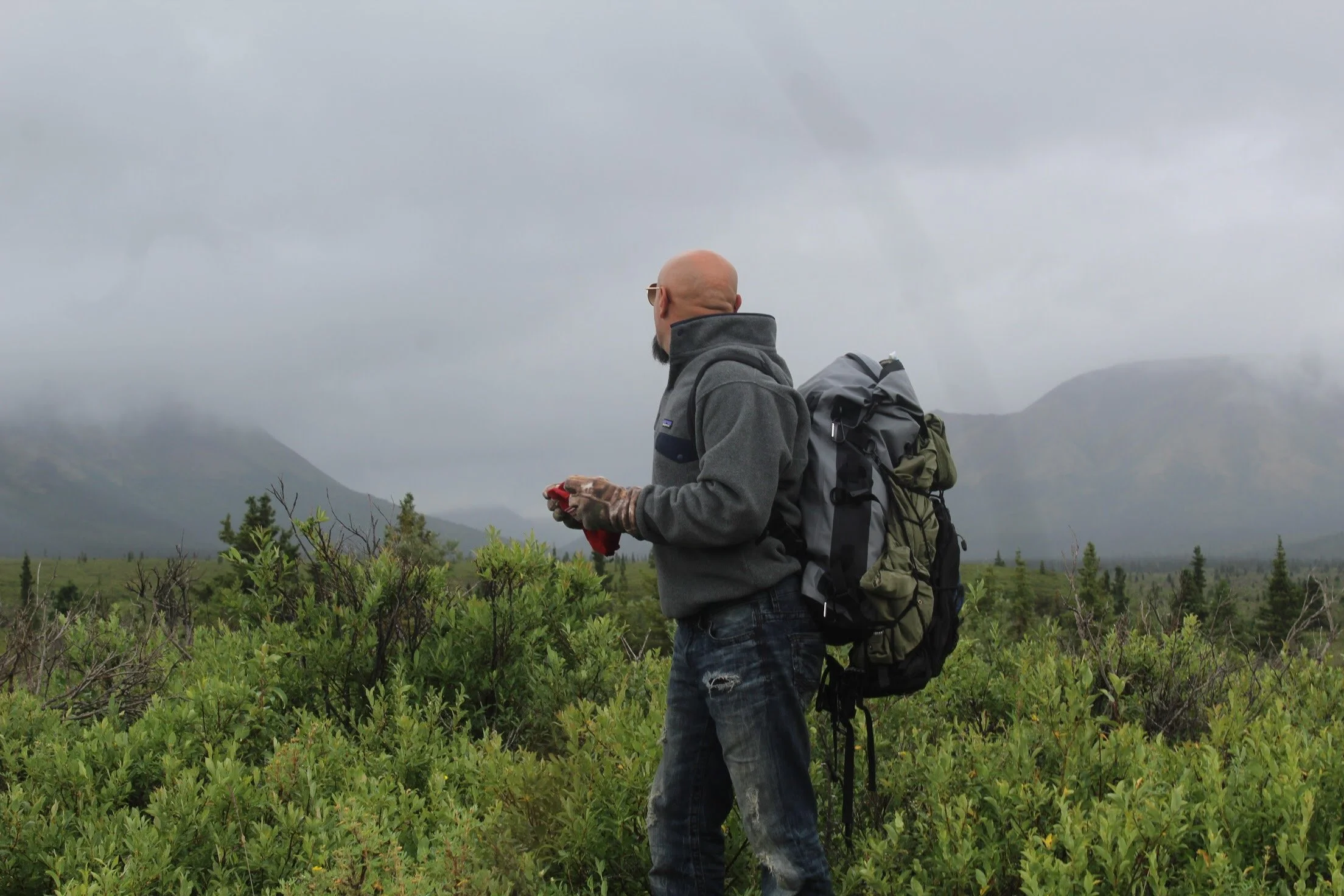
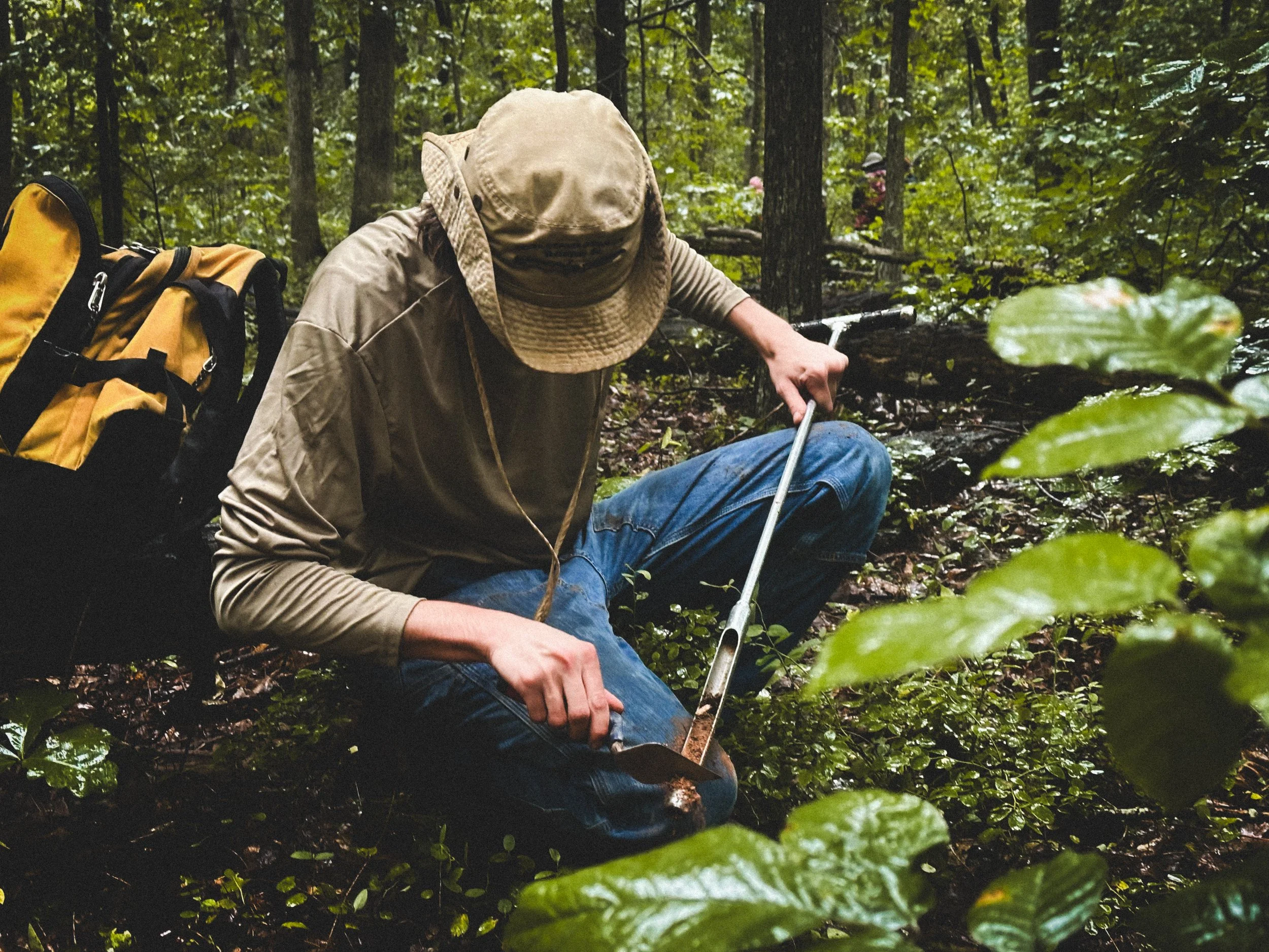
Field Support: Precision grid setup, stratigraphic documentation, and specialized field assistance engineered to preserve the absolute integrity of every excavation. Our field teams provide meticulous oversight during physical investigations, ensuring that vertical and horizontal profiles are recorded with strict geographical controls. From defining complex soil changes and documenting distinct cultural layers to managing field logistics under challenging environmental conditions, we provide the foundational physical support necessary to protect site provenance.
Landscape Interpretation: Environmental synthesis, spatial feature identification, and localized terrain analysis to understand how geographical contexts shaped human activity over time. We evaluate the physical relationship between recovered material footprints, natural resource points, and shifting ecological zones to reconstruct how a site functioned within the wider region. This deep contextual analysis allows our teams to interpret long-term land utilization patterns, identify features altered by early generations, and provide clear environmental context that directly sharpens our active field strategies.
HISTORICAL RESEARCH & ANALYSIS
Data collection begins long before the first shovel hits the dirt. We provide deep-dive historical context to help shape your field strategy, ensuring that every subsequent phase of physical investigation is guided by a rigorous documentary framework.
Archival Navigation: Deep-dive research across local, state, and national archival repositories to construct an exhaustive documentary foundation for your project. Our researchers systematically comb through regional historical societies, state library systems, land registries, and federal record groups to unearth critical primary documentation. By compiling historic patents, census data, tax assessments, and specialized military or industrial manuscripts, we piece together an unbroken timeline of site occupation and ownership.
Land-Use Histories: Synthesis of historic maps, deeds, plat records, and early aerial imagery to accurately reconstruct landscape evolution across centuries of human activity. Using geographic regression techniques, we digitally overlay and rectify these vintage cartographic assets onto modern survey coordinates within a unified GIS environment. This deep spatial analysis allows us to track changing property boundaries, forgotten road networks, and historic agricultural modifications, transforming raw archival files into predictive field intelligence.
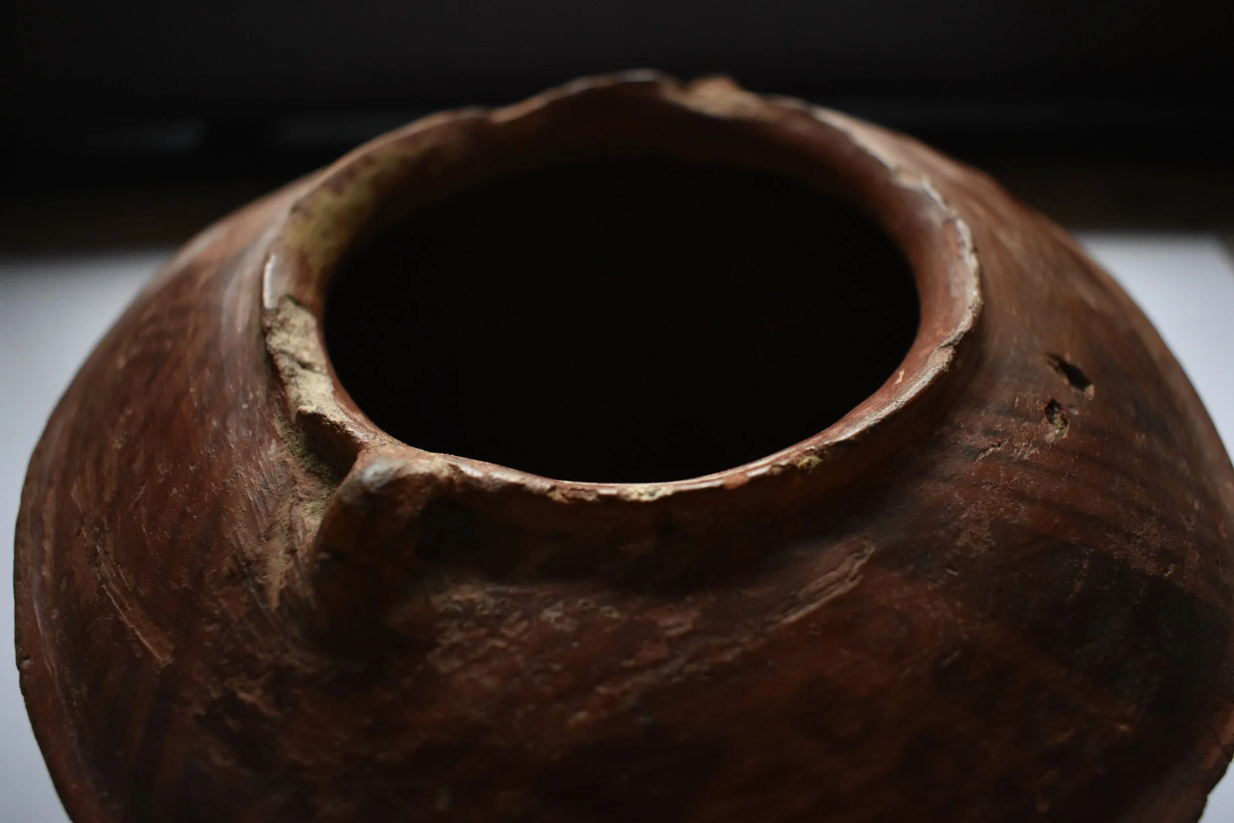
Material Culture Analysis: Specialized post-excavation cataloging, artifact photography setups, and laboratory management engineered to meet strict state and federal curation standards. Our laboratory pipeline delivers high-resolution macroscopic documentation, precise material typology identification, and meticulous diagnostic sorting for every recovered assemblage. All cataloged materials are systematically organized and securely tracked, ensuring clear artifact provenance and a complete record for future research.
LANDSCAPE MODELING & SPATIAL ANALYSIS
Predictive Modeling: Analyze terrain, soil data, and water proximity to isolate high-probability areas for cultural resources across vast or challenging regions. Our teams evaluate standard environmental factors, including slope gradients, localized soil profiles, and water access, to understand general landscape patterns. By evaluating these physical features alongside regional occupational data, we generate practical predictive layouts that allow project directors to focus their field efforts on areas with the highest probability of archaeological sensitivity.
Digital Elevation Analysis: Filter high-resolution elevation data to identify hidden surface modifications, old roadbeds, and structural footprints that are difficult to detect from the ground. We utilize standard spatial processing techniques to look closely at localized elevation datasets and spot subtle variations in the ground contour. This practical analysis helps reveal faint landscape anomalies, allowing our teams to trace older pathways, agricultural modifications, and foundational outlines that might otherwise be overlooked during initial site visits.
Site Boundary Reconstruction: Synthesize surface finds and testing data to establish accurate digital parameters for primary research teams and project directors. By mapping the layout of surface materials alongside subsurface testing coordinates, we define clear, evidence-based parameters for site limits. This spatial clustering ensures that investigators can confidently organize their primary study areas, protect sensitive zones, and integrate clean spatial layouts into their broader research initiatives.
OUR ROLE & COMPLIANCE POLICY
OAR is a specialized technical subcontractor and an independent, non-commercial research entity.
We focus strictly on data gathering, tech deployment, and research support.
We do not conduct regulatory compliance surveys requiring independent SHPO tracking.
We do not independently issue final regulatory-mandated environmental or archaeological assessments.
We operate seamlessly under the direct oversight and active permits of your project's SOI-qualified Principal Investigator.
COLLABORATE WITH ORIGIN ON LAND
OAR is always looking to expand our network of skilled professionals and collaborative initiatives. We believe that advancing archaeological science relies on shared regional knowledge, diverse field expertise, and steady interdisciplinary teamwork.
Whether you are an independent researcher coordinating a localized project, an academic team seeking dependable field support, or a technician with terrestrial experience, we want to hear from you. We value practical, well-organized partnerships that help protect and document cultural resource areas efficiently.
Fill out the inquiry form to connect with the OAR On Land team, outline your project parameters, or discuss how we can assist your group on upcoming field layouts.