IN THE LAB
labs@originarchaeology.org
POST-EXCAVATION PROCESSING & DATA ANALYSIS
Data collected in the field requires meticulous organization and analysis to be scientifically useful. OAR provides independent laboratory and technical processing support to ensure all field findings are properly preserved, cataloged, and transformed into clean research datasets. Our laboratory workflows are systematically structured to manage the detailed processing demands that follow physical field investigations, helping primary investigators move from raw material recovery to clear, structured overviews with controlled analytical accuracy. By blending careful physical sorting with comprehensive diagnostic research, we assist project directors in translating fragmentary material findings into stable geographical and historical assets. We act as a highly dependable analytical extension, expanding your team's laboratory capabilities while keeping strict material preservation, clear artifact provenance, and systematic data tracking at the absolute center of every project layout.
MATERIAL PROCESSING & CATALOGING
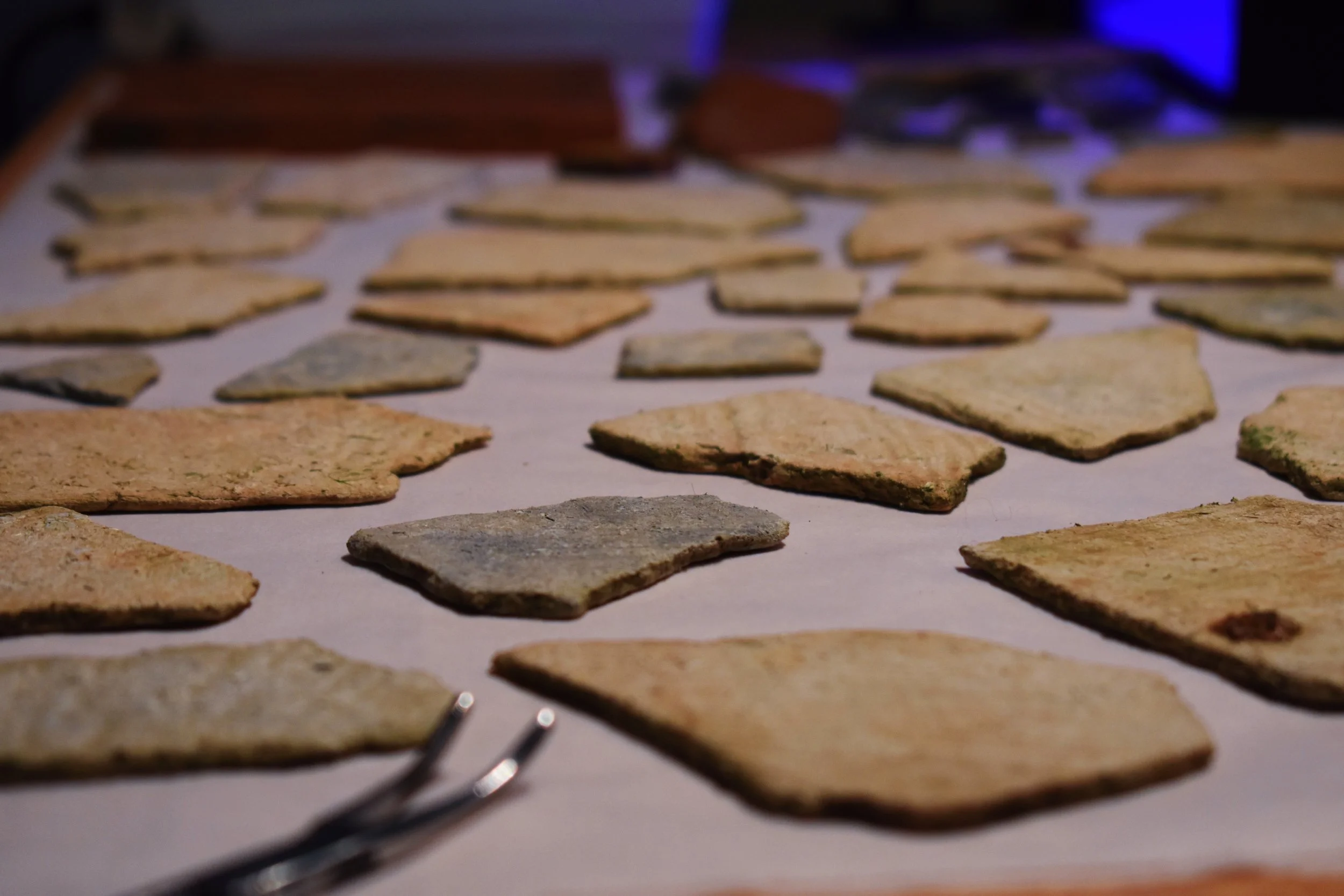
Artifact Washing & Stabilization: Careful processing of terrestrial and marine materials according to standard curation guidelines to prevent material degradation after field recovery. Our laboratory team utilizes delicate manual cleaning techniques and controlled sediment removal protocols tailored specifically to the structural needs of varied material categories. By monitoring environmental variables, drying rates, and fragile surface characteristics, we stabilize fragile organic and inorganic finds, ensuring that diagnostics are completely clean and stable before moving on to closer analysis.
Inventory Control: Sorting, labeling, and systematic cataloging of artifact assemblages to maintain an absolute record of project findings. Recovered materials are systematically grouped by provenience, material class, and functional type before being assigned unique catalog numbers. Each object or bulk grouping receives a detailed physical description, including accurate weight, count, and macroscopic material identification. This organized sorting process links every item directly back to its exact horizontal and vertical recovery coordinates, completely safeguarding its contextual history.
Curation Preparation: Packaging materials in archive-safe storage containers, ready for transfer to long-term state repositories or museums. All processed assemblages are housed in heavy-duty, acid-free archival enclosures and sturdy, uniform storage boxes that meet strict institutional standards. We handle the placement of durable interior provenience labels and assemble comprehensive master inventories for each container. This thorough preparation ensures that the entire collection is perfectly organized, completely protected from environmental wear, and fully prepared for effortless institutional integration.
DIGITAL PRESERVATION & IMAGERY
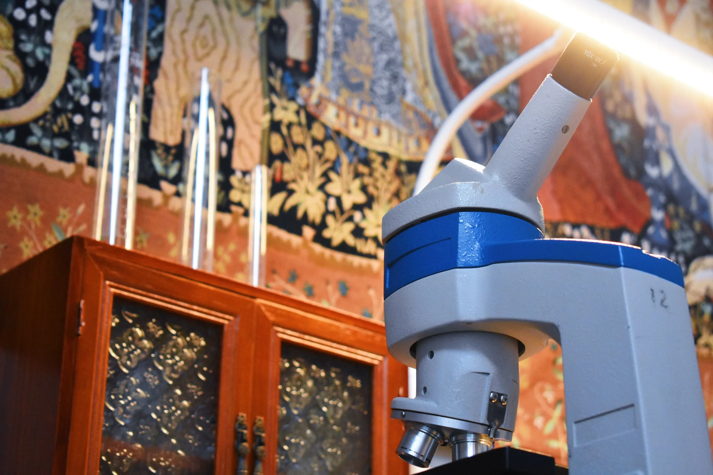
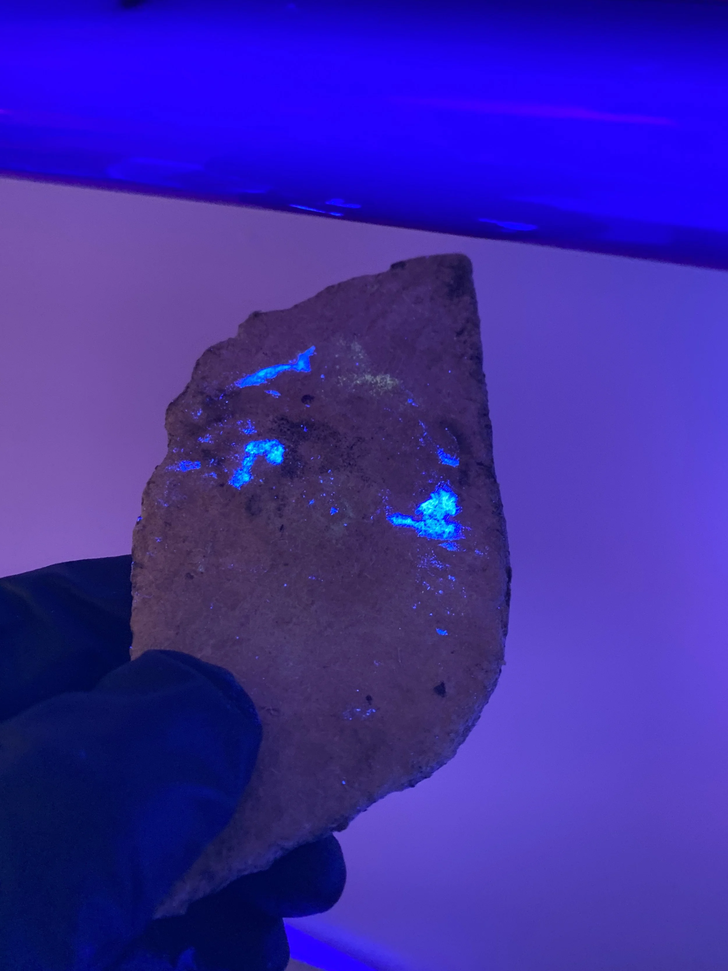
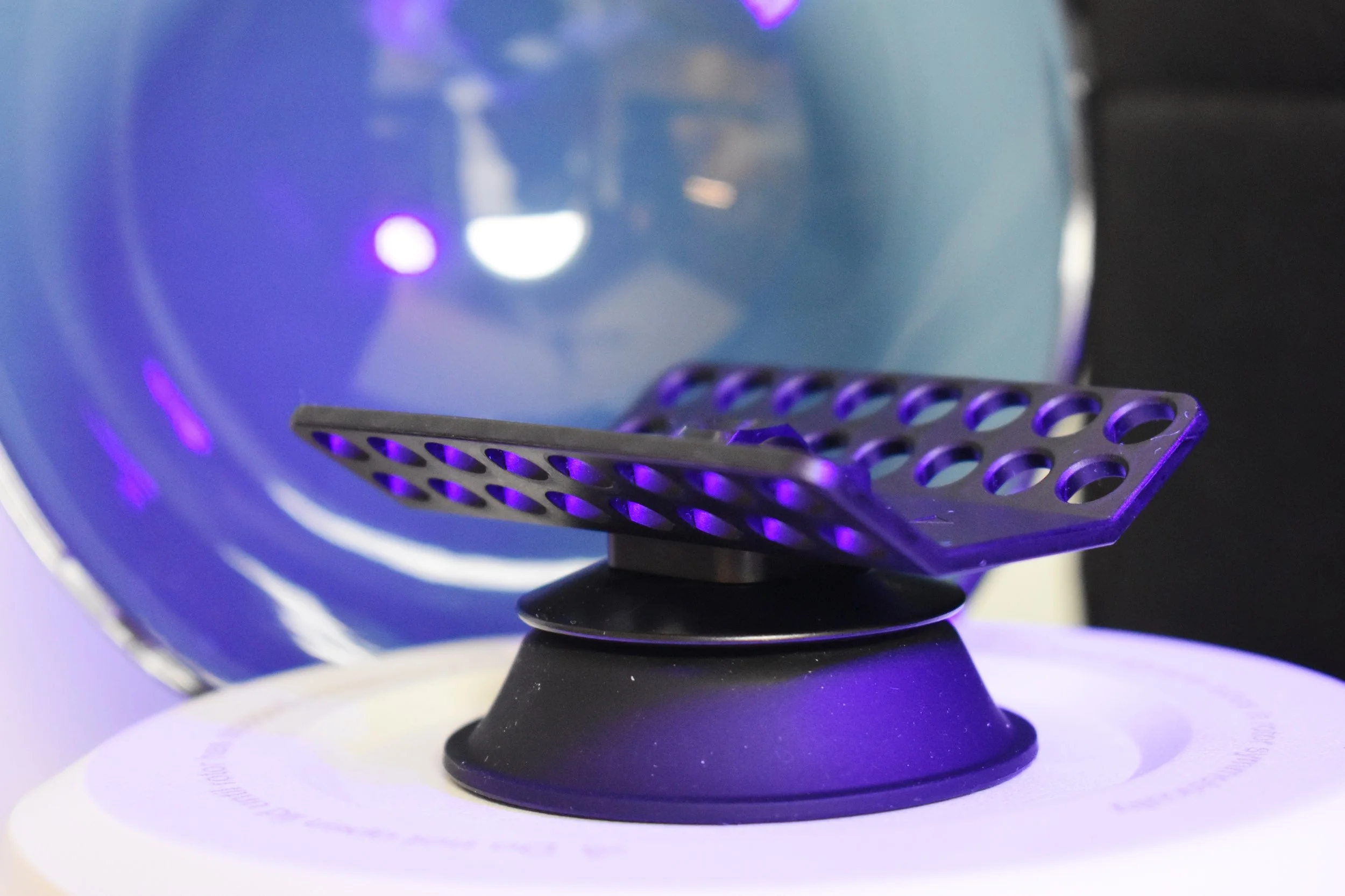
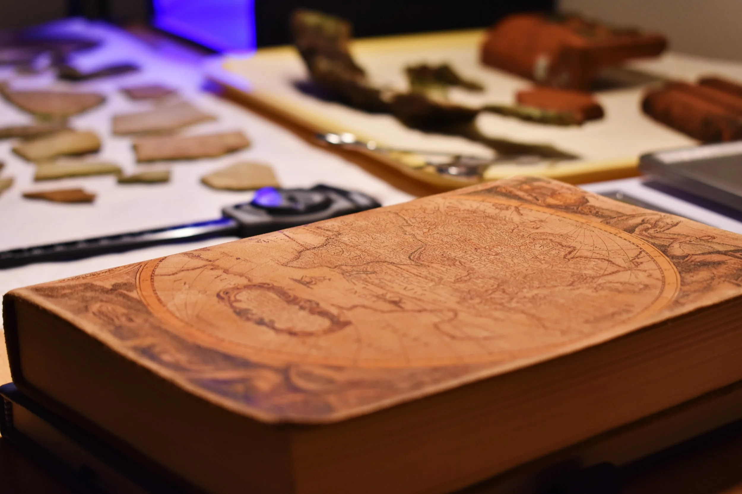
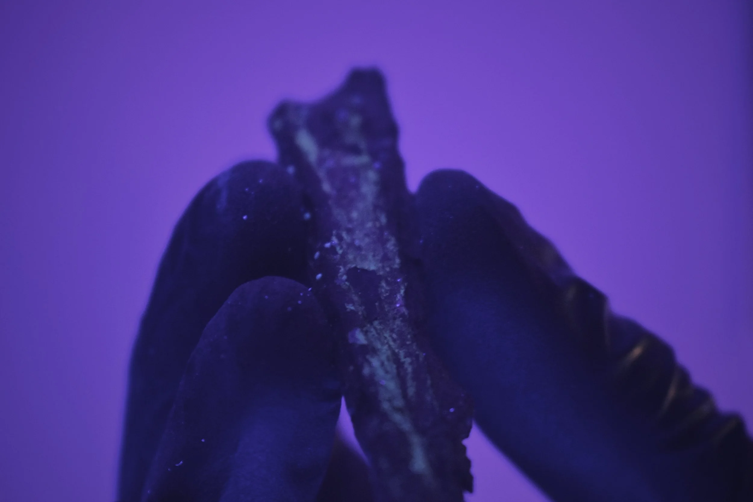
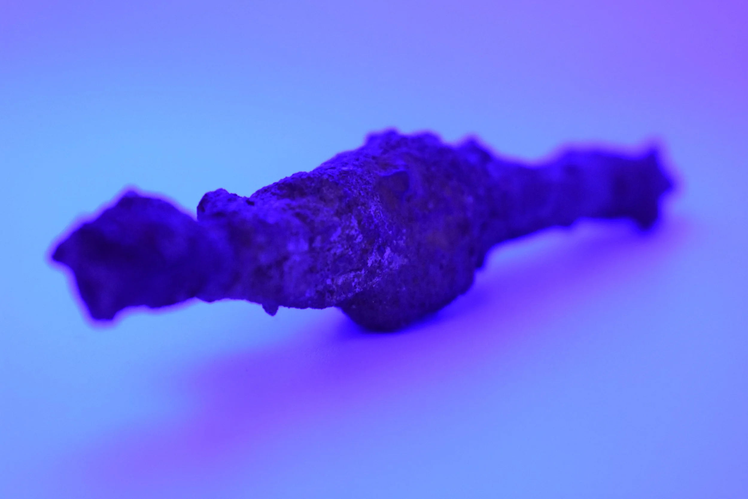
Multi-Spectrum Photography: Capture crisp, scaled, publication-grade imagery of key artifacts and diagnostic traits in different light spectrums to reveal details invisible to the naked eye. Our laboratory team utilizes specialized ultraviolet and infrared lighting configurations to document heavily faded historic signatures, deteriorated surface markings, or obscured manufacturing details. By capturing these distinct structural elements under controlled wave spectrums alongside standard macro photography setups, we deliver clear, high-contrast visual records that preserve critical diagnostic data for deep research analysis.
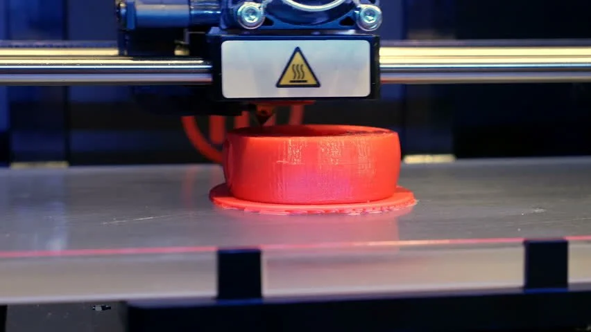
3D Digital Modeling: Utilize photogrammetry to build interactive 3D digital models of specific artifacts for research or public outreach. We process multiple high-resolution photographs taken from rotating spatial viewpoints to construct accurate, three-dimensional digital renderings of recovered materials. These interactive models capture the exact proportions, surface textures, and physical geometry of fragile items, allowing researchers to study and measure objects from any angle without exposing the physical artifact to repeated handling or environmental wear.
Field Record Digitization: Convert hand-drawn field profiles, stratigraphic maps, and paper logs into clean digital formats for long-term safety and easier sharing. We systematically scan and digitally trace field sketches, soil profiles, and manual excavator notes taken during active operations, translating paper field archives into high-contrast vector illustrations. This sorting phase ensures that crucial on-site records are perfectly preserved against physical degradation, keeping your project's stratigraphic layouts organized and easily accessible for future research analysis.
REMOTE SENSING DATA PROCESSING
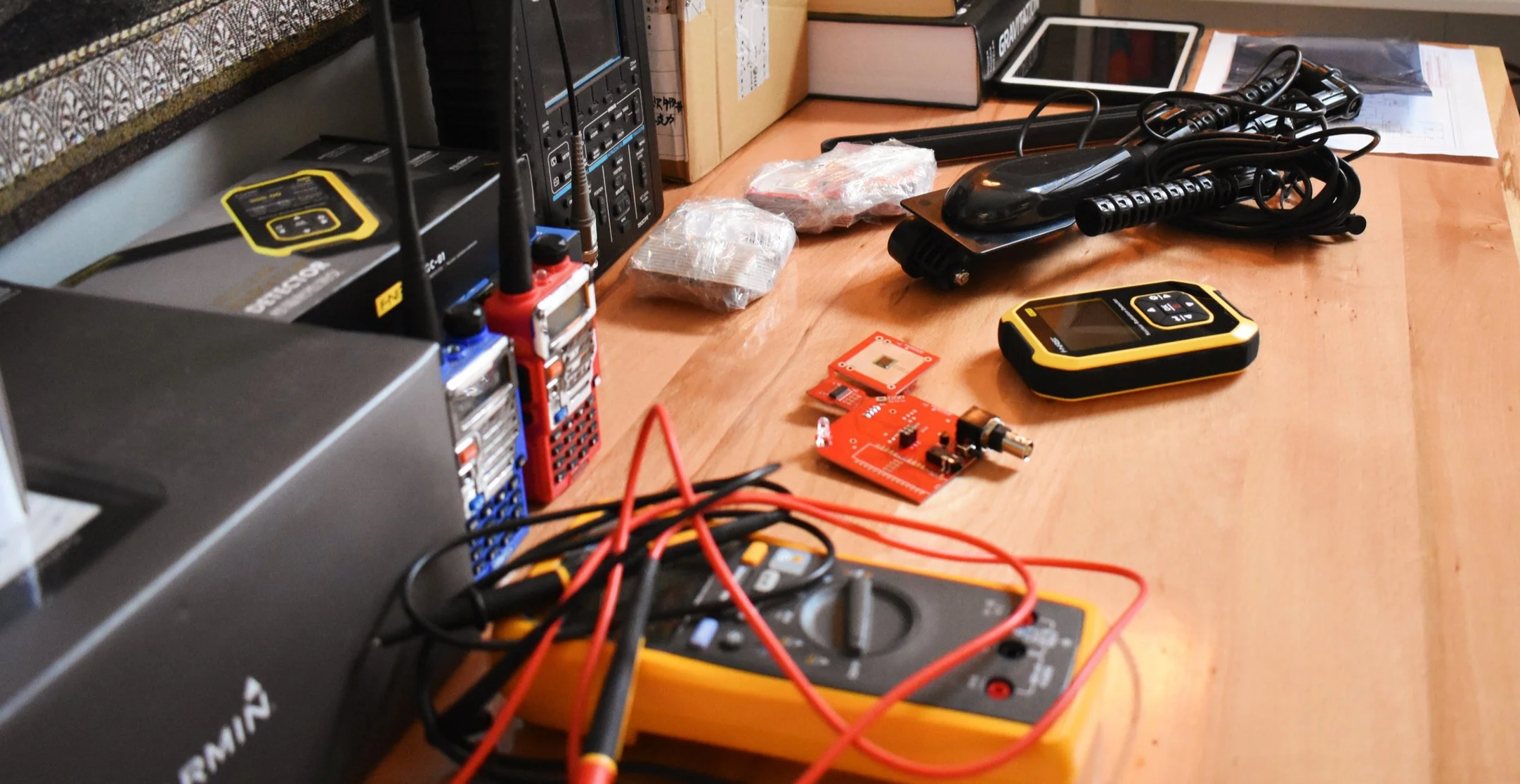
Field data from geospatial trackers and remote sensing tools is refined in the lab into clear, actionable maps. We provide independent post-field data processing and spatial analysis support to transform raw field coordinates into structured geographical frameworks. Our laboratory workflows help primary investigators move from raw land or marine survey readings into stable, comprehensive spatial assets, keeping strict tracking controls and clear target provenance at the absolute center of every project layout.
GIS Mapping Data Entry: Import and clean spatial coordinates to build comprehensive mapping layouts and clear geographic frameworks. Our laboratory team systematically organizes raw field coordinates gathered during land or marine operations, checking point provenance data to correct any satellite anomalies or recording drift. By organizing these processed geographic points alongside broader environmental layers, we deliver well-organized spatial references that allow project directors to trace spatial connections and distribution patterns clearly.
Anomaly Post-Processing: Review and filter terrestrial or marine sensor data to isolate and map cultural targets across the regional landscape. We utilize standard spatial processing software to evaluate raw elevation models, acoustic datasets, and sub-surface readings, filtering out environmental noise and natural terrain changes. This practical lab-based review helps reveal faint, hidden anomalies, allowing research groups to distinguish natural landforms from true archaeological footprints like older pathways, agricultural modifications, and foundational outlines.
Spatial Reconstructions: Synthesize project layout data to reconstruct site boundaries and excavation sectors digitally within a unified software mapping environment. By combining surface material distributions with subsurface testing layouts, we establish accurate digital parameters that define clear, evidence-based parameters for site limits. This detailed mapping phase ensures that primary investigators can comfortably view, measure, and analyze historical terrain features from a clear, centralized perspective before planning future field moves.
ARCHIVE SYNTHESIS & REPORTING
OAR assembles disparate pieces of historical, prehistoric, and physical data into structured technical overviews. We provide independent research synthesis and reporting support to transform isolated field findings into comprehensive analytical frameworks. Our laboratory workflows help primary investigators move from raw field discoveries, spanning ancient lithic scatters to historic material horizons, into stable, well-supported research assets, keeping strict contextual control and clear material provenance at the absolute center of every project layout.
Contextual Timeline Matching: Correlate recovered artifact data with historical property deeds, maps, environmental records, and archival timelines to establish an unbroken chronology of site occupation. Our laboratory team cross-references the chronological markers found on prehistoric diagnostic lithics, early ceramic typologies, and historic material assemblages with regional land records or landscape evolution charts. This systematic correlation allows researchers to tie specific material scatters directly to ancient seasonal camps or documented historic households, transforming loose physical finds into a clear, deeply supported narrative of regional human activity.
Technical Appendices: Compile raw data tables, catalog sheets, and photographic logs for clean integration into your final project reports. We handle the heavy lifting of post-field data compilation by organizing material weights, flake attribute counts, and field documentation sheets into clear, standardized formats. Each technical appendix is structured for clarity, pairing high-contrast imagery of prehistoric stone tools and diagnostic historic items with detailed descriptive catalogs so that primary investigators have a stable, beautifully organized resource ready to drop straight into their comprehensive research volumes.
Research Assistance: Provide background literature reviews and comparative artifact analysis to support primary researchers and project directors during the interpretation phase. Our researchers look closely into regional academic publications, deep-time environmental datasets, previous site reports, and localized material typologies to find matching contexts for your specific discoveries. By identifying parallel artifact patterns and synthesis data from across both prehistoric and historic eras, we provide the deep contextual background necessary to help your team interpret its findings with maximum accuracy and scientific confidence.
OUR ROLE & COMPLIANCE POLICY
OAR is a specialized technical subcontractor and an independent, non-commercial research entity.
We focus entirely on post-field analysis, data entry, artifact processing, and technical reporting assistance.
We do not independently author regulatory compliance or mitigation reports requiring independent SHPO tracking.
We do not independently issue regulatory-mandated environmental or archaeological assessments.
We operate seamlessly under the direct oversight and active permits of your project's SOI-qualified Principal Investigator.
COLLABORATE WITH ORIGIN IN THE LABORATORY
OAR is always looking to expand our network of skilled professionals and collaborative initiatives. We believe that advancing archaeological science relies on shared regional knowledge, diverse field expertise, and steady interdisciplinary teamwork.
Whether you need data processing support to wrap up a field season, or you are a lab analyst looking to join our interdisciplinary network, we want to hear from you. We value practical, well-organized partnerships that help protect and document cultural resource areas efficiently.
Fill out the inquiry form to connect with our team and discuss how we can assist your group on upcoming project layouts.