BRIDGING TERRESTRIAL & MARITIME PREHISTORY
Submerged landscape archaeology studies human history on landmasses that were drowned by rising sea levels thousands of years ago. These inundated environments hold some of the most pristine, well-preserved evidence of early human migration, settlement patterns, and ancient ecosystems.
Origin Archaeological Research (OAR) operates at the intersection of land and sea, providing the specialized technical support, research, and diving assets required to locate, map, and document these deep-time resources. Our operations are systematically structured to manage the unique environmental challenges of deep-time survey, helping primary investigators analyze and reconstruct early human migration patterns, ancient ecosystems, and long-buried settlement layouts with controlled spatial accuracy.
ORIGIN’S SUBMERGED LANDSCAPE CAPABILITIES
Because ancient landscapes are buried beneath water and modern marine sediment, finding them requires a blend of geographic modeling and tactical underwater fieldwork. We assist research teams through three primary avenues to investigate and reconstruct drowned or submerged paleolandscapes:
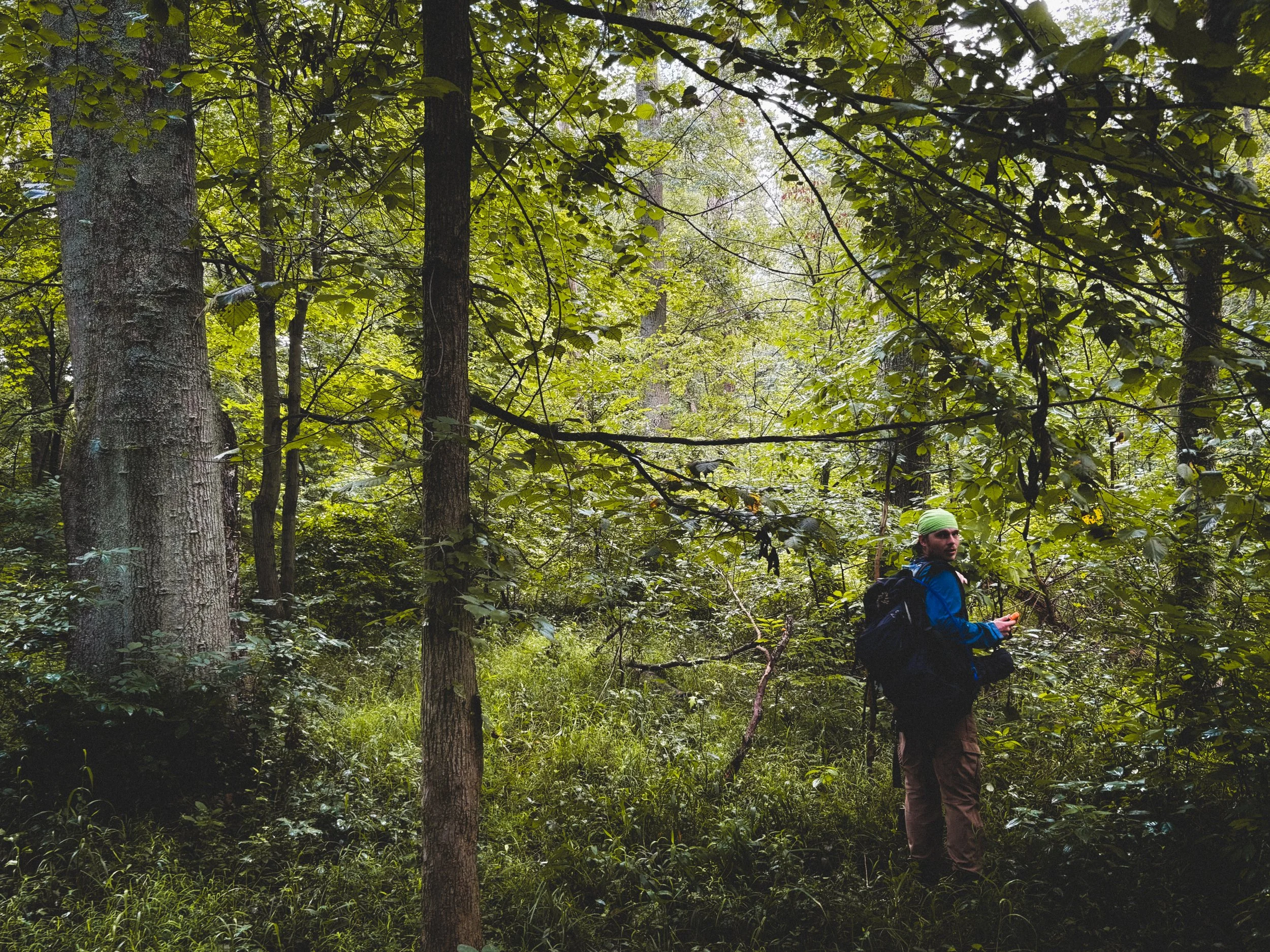
Paleotopographic Research & Mapping: Synthesize historical data, bathymetry, and geological maps to reconstruct ancient river valleys, coastlines, and landforms. Our team utilizes advanced spatial software to build practical models of where early human sites are most likely to be preserved underwater. By evaluating early drainage patterns, changing shorelines, and localized sediment layers, we provide primary research teams with clear geographic frameworks to understand how deep-time terrain layouts looked before sea levels rose.
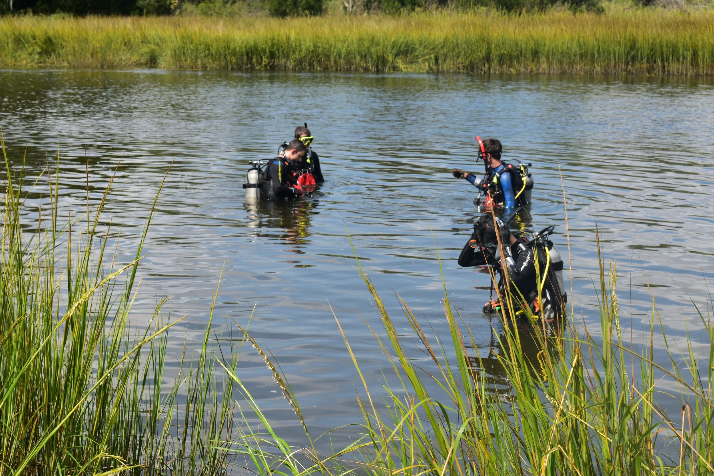
Target Ground-Truthing & Diving: Deploy dive teams to physically investigate high probability underwater zones and submerged landforms. Our field crews assist primary research teams with underwater test pitting, manual sediment clearance, and core sample tracking across challenging offshore environments. Focusing on close team coordination and medical field safety, we help verify sub-surface material deposits and document complex underwater soil profiles without disrupting the vulnerable contextual layers of the site.
Digital Site Documentation: Specialized underwater photography, videography, and scaled baseline mapping for documentation of inundated prehistoric features. We utilize underwater imaging configurations and hands-on, scaled measurement arrays to create clear visual assets of deeply buried or exposed features on the seabed. This systematic documentation relies on meticulous data logging to ensure offshore discoveries are mapped with controlled spatial accuracy, preserving clear geographical references for future archaeological analysis.
WHY SUBMERGED LANDSCAPES MATTER
Submerged landscapes hold the key to understanding early human history, as post-glacial environmental shifts have left vast, untouched archaeological evidence underwater. By investigating inundated shelves, river networks, and sinkholes, OAR aids researchers in mapping prehistoric migration routes, reconstructing ancient ecosystems, and studying protected, intact archaeological sites.
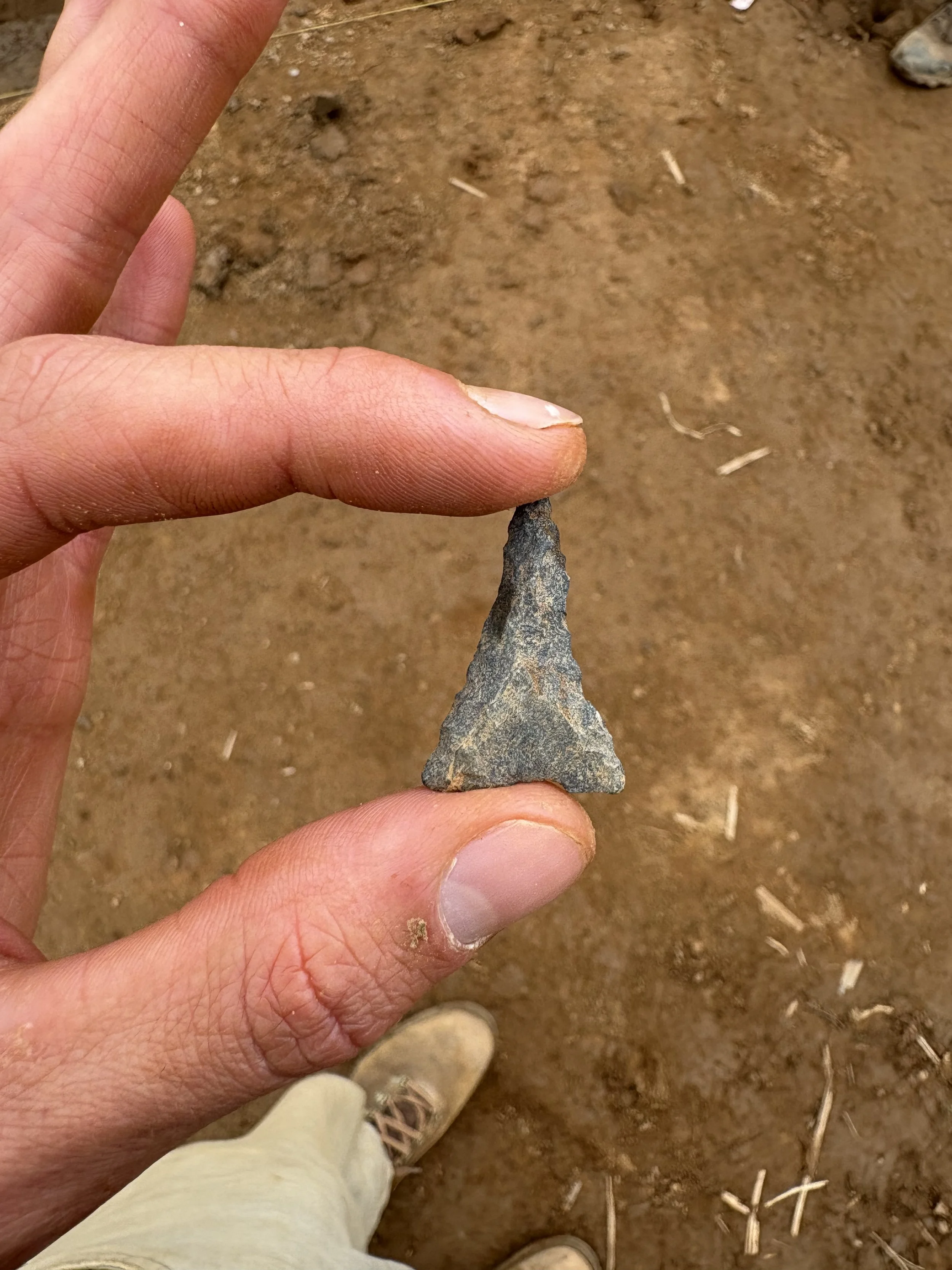
Early Migration and Adaptation: Tracing early human migration routes and coastal adaptations along ancient geographic corridors that are now beneath the waterline. By studying the physical relationship between submerged landforms and early material scatters, we assist primary research teams in understanding how early populations traveled, settled, and utilized marine resources thousands of years ago.
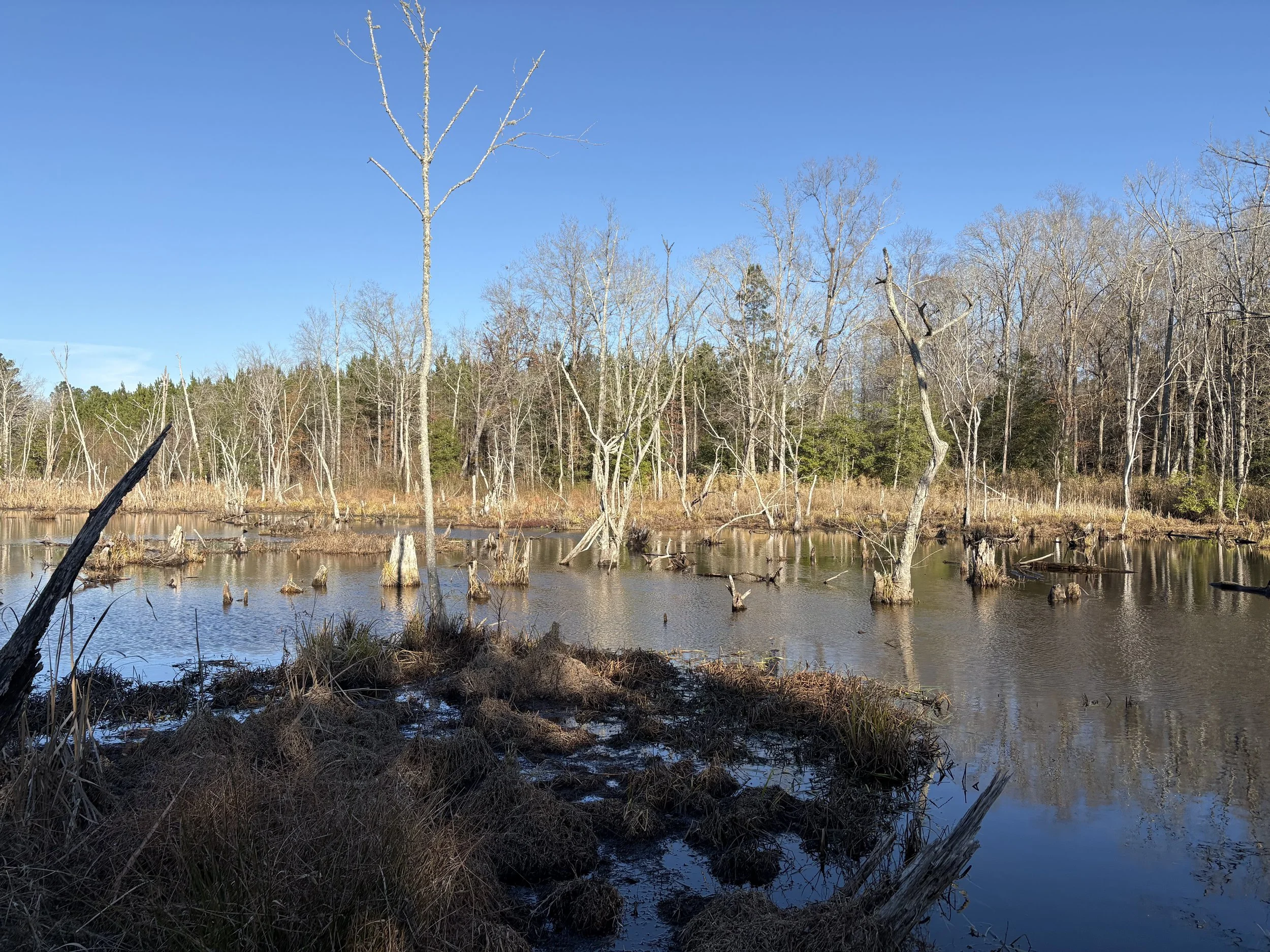
Paleoenvironmental Reconstruction: Mapping drowned prehistoric forests, ancient shorelines, and extinct ecosystems to build a comprehensive picture of past environments. Our team compiles physical evidence from preserved sub-surface wood deposits, old river beds, and localized sediment layers to help researchers visualize the changing regional landscapes early generations lived in before sea levels rose.
Inundated Resource Preservation: Investigating intact archaeological deposits protected from modern development by centuries of water and sediment. Because these ancient layouts have been sealed beneath protective layers of silt, they frequently offer an exceptional degree of preservation for organic materials and sensitive features, providing a highly stable baseline for continuing research.
PARTNER ON DEEP-TIME RESEARCH
Whether you are an academic institution tracing early human migration data or a primary contractor investigating offshore anomaly zones, OAR provides the specialized technical assets to support your project. We structure our collaborative frameworks to serve as a reliable, non-commercial technical resource, ensuring your field layout is supported by practical marine experience and steady data tracking.
Academic Institutions: Supporting university research teams, grant-funded initiatives, and field schools investigating prehistory across inundated regions. We provide the physical field assets, technical diving coordination, and practical field documentation necessary to help faculty and students maximize their field seasons. We help academic programs safely navigate the environmental difficulties of offshore deployments while preserving vulnerable material contexts.
Established CRM Firms: Assisting primary contractors requiring specialized diving support or paleotopographic mapping assets for complex offshore surveys. We function as a seamless technical subcontractor, integrating directly into your existing project framework without adding institutional friction. Our team provides the reliable sub-surface documentation and terrain tracking needed to clear challenging marine survey phases efficiently and in total compliance with strict state guidelines.
Geological & Environmental Researchers: Partnering with scientists mapping ancient shorelines, drowned ecosystems, and sea-level change across deep-time landscapes. We bridge the gap between archaeological fieldwork and environmental science by collecting and tracking localized sediment profiles, drowned forest material, and submerged soil layers. This collaborative data gathering helps interdisciplinary teams build highly accurate, comprehensive regional models of past environmental transitions.
Independent Researchers & Museums: Providing technical documentation and archival synthesis to bring early human history to light for local and regional exhibits. We assist independent scholars and curatorial teams by translating raw offshore field findings and maritime archives into well-organized visual assets. Our team delivers the precise measurements, scaled photography, and deep background context required to accurately document and preserve submerged discoveries.
OUR ROLE & COMPLIANCE POLICY
OAR is a specialized technical subcontractor and an independent, non-commercial research entity.
We focus entirely on marine data gathering, diving assets, paleotopographic mapping, and technical survey support.
We do not conduct regulatory compliance surveys requiring independent SHPO tracking.
We do not independently issue regulatory-mandated maritime environmental or archaeological assessments.
We operate seamlessly under the direct oversight and active permits of your project's SOI-qualified Principal Investigator.
COLLABORATE WITH ORIGIN ON SUBMERGED LANDSCAPES
OAR is always looking to expand our network of skilled professionals and collaborative initiatives. We believe that advancing archaeological science relies on shared regional knowledge, diverse field expertise, and steady interdisciplinary teamwork.
Whether you need paleotopographic mapping support to investigate an inundated landform, or you are a researcher wanting to collaborate on ancient coastlines, we want to hear from you. We value practical, well-organized partnerships that help protect and document cultural resource areas efficiently.
Fill out the inquiry form to connect with the OAR Submerged Landscapes team, outline your project parameters, or discuss how we can assist your group on upcoming field layouts.