SPECIALIZED SUMERGED TECHNICAL & SURVEY SUPPORT
Origin Archaeological Research (OAR) provides independent, technical support assets for maritime archaeological projects. Operating at the intersection of marine tech and science, we provide precise data tracking across river networks, reservoirs, shorelines, and coastal waters. Our underwater operations are systematically structured to manage the physical and environmental complexities of sub-surface survey, helping primary investigators locate, verify, and map underwater footprints with controlled spatial accuracy. By blending remote sensing datasets with practical underwater field procedures, we assist project directors in translating challenging aquatic environments into clear geographic assets. We act as a high-utility technical extension for academic research teams, university field schools, and primary Cultural Resource Management (CRM) contractors facing underwater challenges, expanding your team's operational capabilities below the waterline while keeping field safety and resource preservation at the center of every underwater site.
MARITIME ASSETS
OAR Underwater deploys specialized marine and geophysical technology to map underwater sites and locate submerged features with absolute precision. Our sub-surface operations are engineered to transform raw marine fieldwork into highly structured, comprehensive spatial assets, ensuring maximum accuracy from initial remote sensing sweeps to final descriptive mapping.
Remote Sensing Support: Assistance with marine remote sensing operations, data tracking, and survey organization to establish baseline parameters across wide or challenging survey zones. Our team assists project groups in deploying side-scan sonar arrays and bathymetric mapping configurations to record data anomalies systematically. By organizing systematic search areas and managing active survey pathways, we ensure complete coverage of the project area, turning raw sub-surface readings into structured geographic points for further field study.
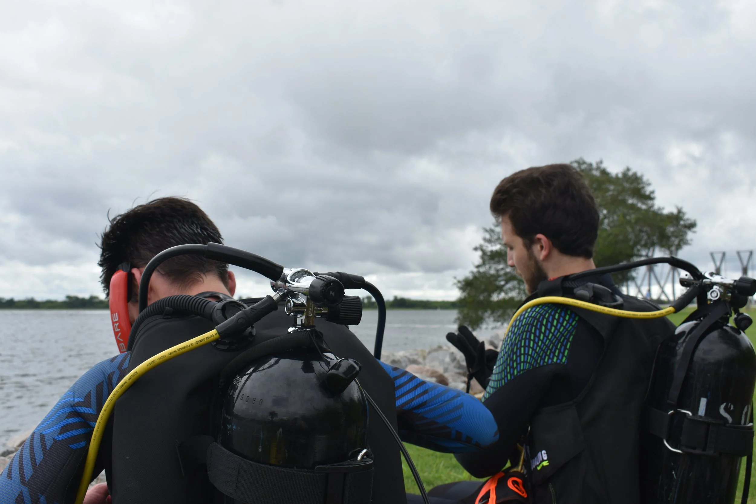
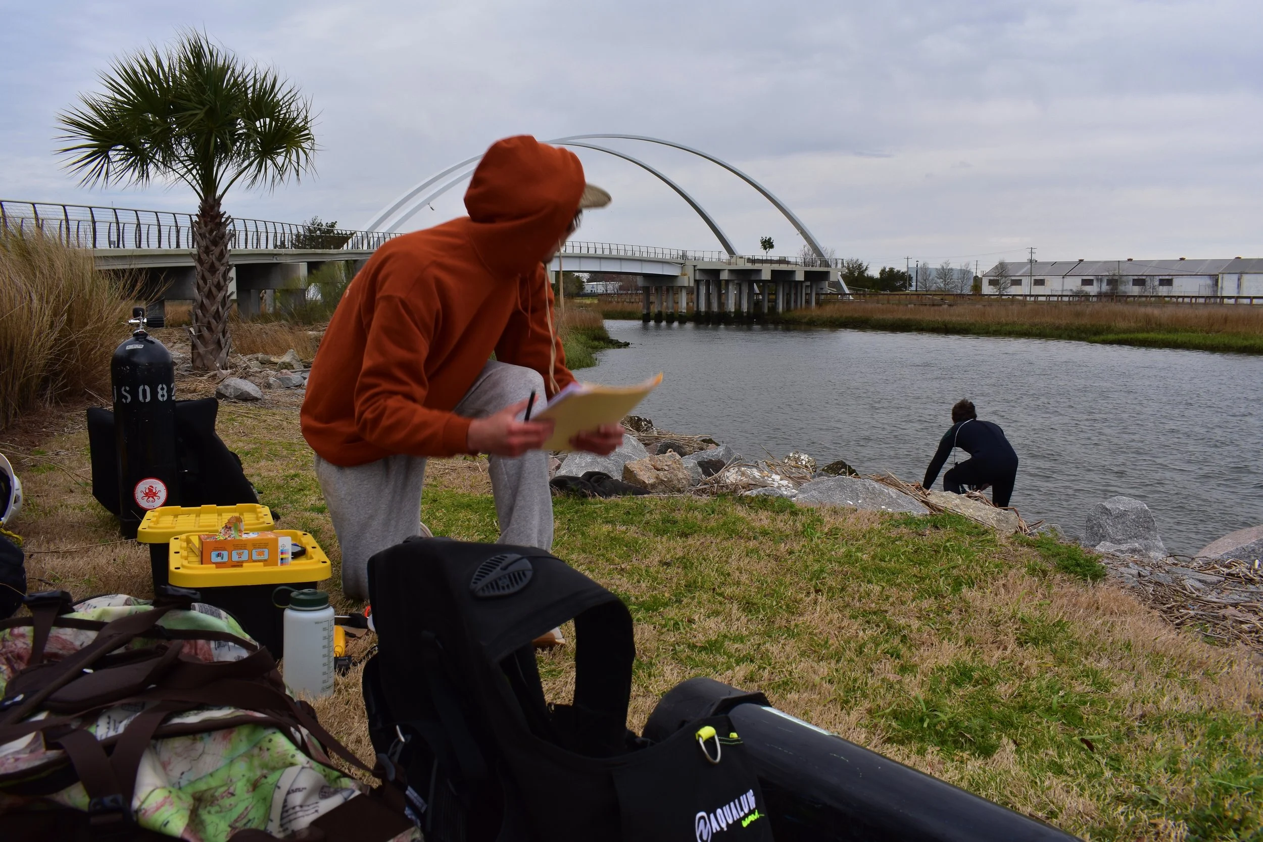
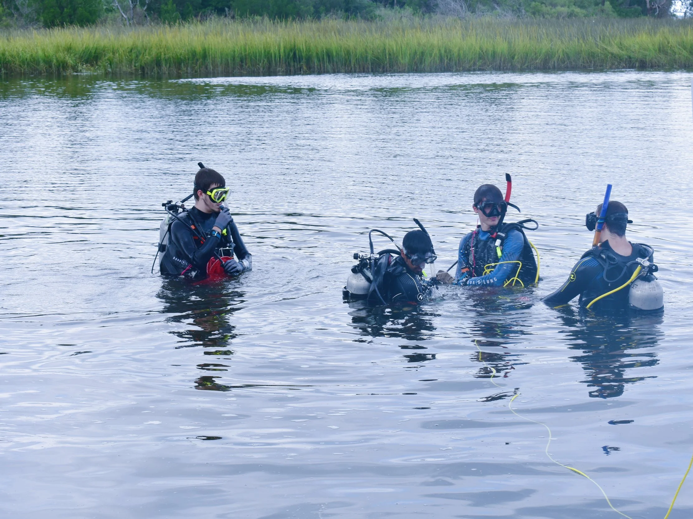
Diving Operations: Tactical dive operations to investigate, locate, and ground-truth sub-surface anomalies across varied underwater environments. Our field teams coordinate structured diving deployments to evaluate specific targets previously identified through remote sensing data. Focusing on deliberate physical observation and manual documentation, we locate buried or exposed cultural resources while prioritizing total group coordination and medical safety. These targeted investigations allow teams to confirm target identities and capture critical environmental details without disturbing vulnerable material contexts.
Site Mapping: Specialized underwater photography, videography, and scaled maritime site mapping engineered to preserve the spatial context of underwater discoveries. We translate submerged working environments into clear visual records by utilizing underwater imaging techniques and hands-on, scaled measurement arrays. This descriptive mapping captures the precise physical relationships between various features on the riverbed or seafloor, providing primary research groups with the comprehensive visual assets and geographic references needed for detailed layout analysis.
Submerged Site Control: Installation of underwater baseline controls to ensure accurate artifact tracking throughout long-term documentation projects. Our teams establish reliable physical reference lines and baseline measuring matrices directly on the bottom to anchor all sub-surface recording efforts to fixed spatial coordinates. This reliable control network allows divers to record material scatters, diagnostic objects, and structural features with consistent measurement accuracy, safeguarding the detailed provenience of the entire area for subsequent interpretation.
SITE DOCUMENTATION
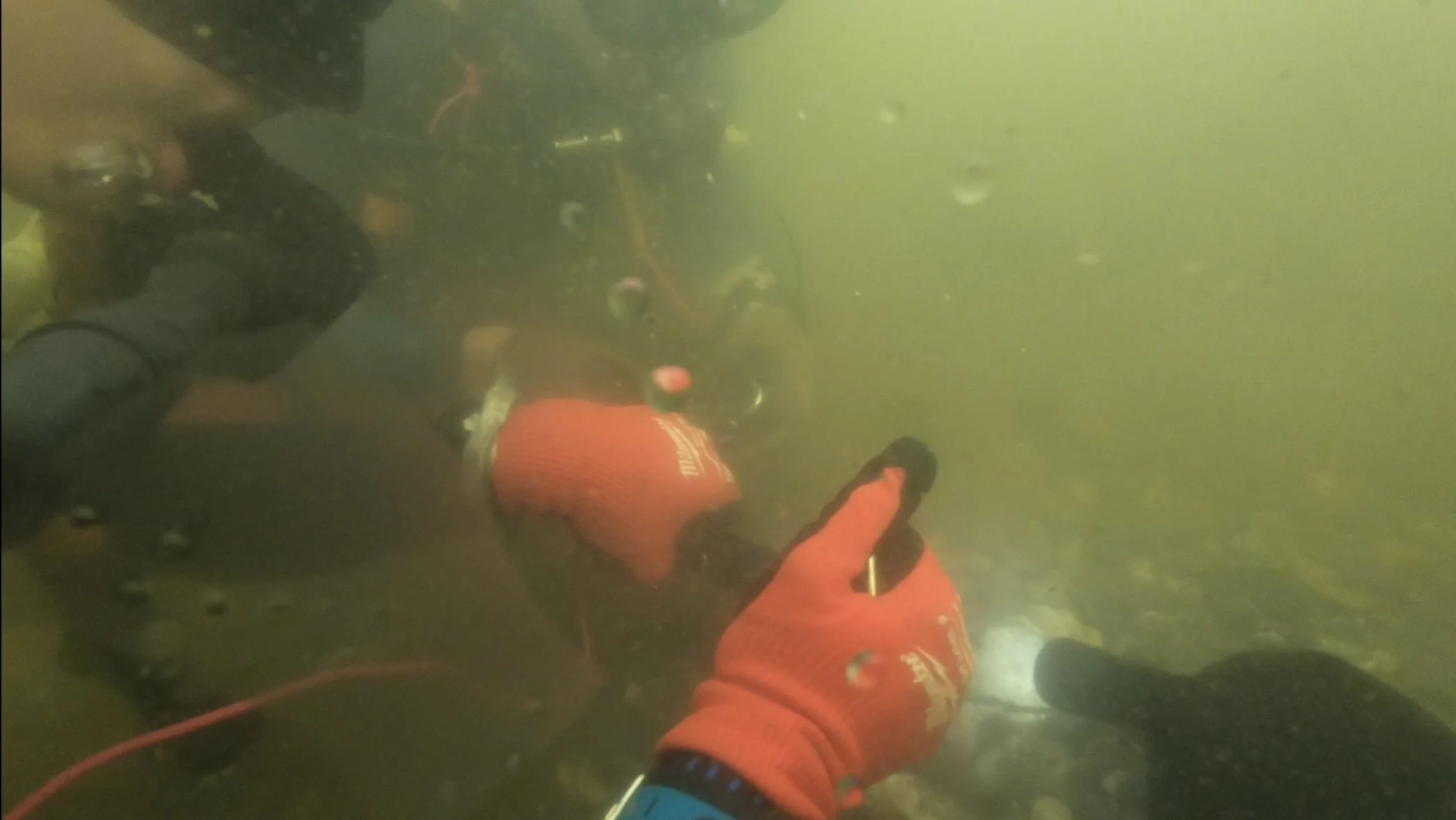
Target Ground-Truthing: Diving deployments to investigate, identify, and assess remote sensing anomalies across varied marine zones. Our field teams coordinate structured sub-surface sweeps to examine specific structural or historical targets highlighted during broader sensing operations. Focusing on deliberate physical observation and manual documentation, we locate exposed or partially buried cultural resources while prioritizing close team communication and medical field safety. This direct, hands-on verification allows project teams to confirm target identities and capture crucial environmental details without disrupting vulnerable material contexts on the bottom.
Digital Maritime Preservation: Specialized underwater photography, videography, and scaled marine site mapping engineered to preserve the exact spatial contexts of underwater discoveries. We translate challenging, submerged working environments into clear visual records by utilizing underwater imaging configurations and hands-on, scaled measurement tools. This descriptive mapping captures the precise layout relationships between various features on the riverbed or seafloor, providing primary research groups with the comprehensive visual assets and geographical references needed for detailed project evaluation.
Submerged Site Control: Precise measurement and artifact tracking to maintain the scientific baseline of long-term documentation projects. Our teams establish reliable physical reference lines and baseline measuring matrices directly on the bottom to anchor all sub-surface recording efforts to fixed spatial coordinates. This reliable control network allows divers to record material scatters, diagnostic objects, and structural features with consistent measurement accuracy, safeguarding the detailed provenience of the entire area for subsequent interpretation.
Post-Survey Data Analysis: Streamlined marine remote sensing processing and historical context research to transform raw field observations into clear interpretive outcomes. We systematically review acoustic datasets and bathymetric data alongside archival land-use files and regional shipping histories to build a comprehensive picture of the site. This desk-based synthesis filters out environmental noise, helps identify patterns in the gathered information, and delivers well-organized spatial references that primary investigators can comfortably use to guide their overarching research initiatives.
MARITIME RESEARCH & DATA ANALYSIS
Submerged fieldwork relies heavily on exhaustive historical and geological data. We provide deep-dive maritime context to help narrow testing parameters and analyze findings, ensuring that all physical sub-surface operations are supported by a thorough baseline of pre-survey knowledge.
Hydrographic & Cartographic Analysis: Synthesis of historic coastal charts, maps, and shoreline evolution data to reconstruct how coastal environments and river systems have shifted over time. Our team analyzes historic bathymetric measurements, ancient water channels, and changing shorelines to trace early geographical layouts that are now completely underwater. This detailed structural reconstruction allows researchers to pinpoint where dry land or early port features once existed, transforming old cartographic records into reliable indicators of target areas below the waterline.
Post-Survey Analysis: Data entry, digital mapping assistance, anomaly cataloging, and technical research reporting to convert raw field observations into clear, usable resources. We systematically evaluate the information gathered during sensing operations, filtering out environmental noise to help organize and describe individual sub-surface targets accurately. This thorough desk-based summary delivers clear visual layouts and comprehensive structural reviews that primary investigators can comfortably use to guide their continuing research plans.
Historical Archives: Deep-dive research across maritime archives, historic registries, and customhouse records to construct an unbroken background timeline for your project area. Our researchers look closely into regional shipping records, early port manifests, insurance registries, and historic vessel logs to isolate documented losses or early industrial operations. By gathering these primary documents into a clear historical framework, we help teams understand the specific origins of submerged materials and verify field findings with reliable archival evidence.
OUR ROLE & COMPLIANCE POLICY
OAR is a specialized technical subcontractor and an independent, non-commercial research entity.
We focus entirely on marine data gathering, diving assets, and technical survey support.
We do not conduct regulatory compliance surveys requiring independent SHPO tracking.
We do not independently issue regulatory-mandated maritime environmental or archaeological assessments.
We operate seamlessly under the direct oversight and active permits of your project's SOI-qualified Principal Investigator.
COLLABORATE WITH ORIGIN UNDERWATER
OAR is always looking to expand our network of skilled professionals and collaborative initiatives. We believe that advancing archaeological science relies on shared regional knowledge, diverse field expertise, and steady interdisciplinary teamwork.
Whether you are an independent researcher coordinating a localized marine project, an academic team seeking dependable diving and technical support, or a technician with underwater experience, we want to hear from you. We value practical, well-organized partnerships that help protect and document submerged cultural resource areas efficiently.
Fill out the inquiry form to connect with the OAR Underwater team, outline your project parameters, or discuss how we can assist your group on upcoming research.