IN THE FIELD
FIELD SUPPORT & DATA ACQUISTION
At Origin Archaeological Research (OAR), our field operations are focused on precision, adaptability, and high-fidelity data collection. We operate as an elite technical engine, deploying across land and water to assist primary contractors, academic institutions, and research teams. Our field logistics are systematically structured to manage the shifting physical and environmental difficulties of active field sites, helping primary investigators record surface features and sub-surface contexts with controlled spatial accuracy. By blending practical field methods with rigorous tracking procedures, we assist project directors in translating challenging landscape environments into clear, usable datasets. We act as a highly dependable operational extension, expanding your team's field capabilities while keeping crew safety, medical-risk coordination, and resource preservation at the absolute center of every survey layout.
GEOSPATIAL MAPPING
OAR bridges the gap between physical sites and digital precision. Our mapping workflows ensure that every landscape feature and surface anomaly is accurately captured and georeferenced.
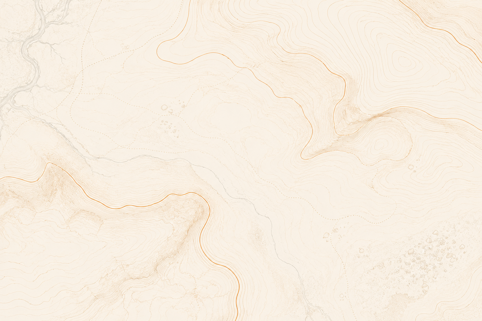
Aerial & Surface Mapping: Deploying specialized aerial sensing assets and satellite tracking configurations to build high-resolution site maps across diverse terrain profiles. Our field teams utilize precise global positioning arrays to record site boundaries, surface collections, and landscape anomalies with exact spatial tracking. By organizing systematic surface documentation and processing coordinated aerial imagery, we ensure complete geographic coverage of the survey zone, turning raw physical terrain features into clear, usable maps for further study.
3D Topographic Modeling: Translating physical terrain variations into clean digital elevation models to visualize basic surface features and occupational layouts. We look closely at localized elevation datasets to note straightforward variations in the ground contour that are difficult to spot during a basic walkover. This practical analysis helps point out faint landscape anomalies, allowing primary research groups to trace older pathways, agricultural modifications, and foundational outlines across the regional landscape.
GIS Integration: Standard spatial layout integration to systematically track field findings against regional geographical data within a unified mapping layout. We organize distinct information pipelines, connecting the location of surface materials, subsurface testing points, and broader environmental features, into a singular, cohesive overview. This straightforward sorting phase delivers well-organized spatial references and clear mapping layouts that project directors can easily use to look over distribution patterns and guide their active field work
GROUND TRUTHING
OAR takes data off the screen and verifies it on the ground. Whether investigating a terrestrial sensing anomaly or an underwater sonar target, we provide physical verification.
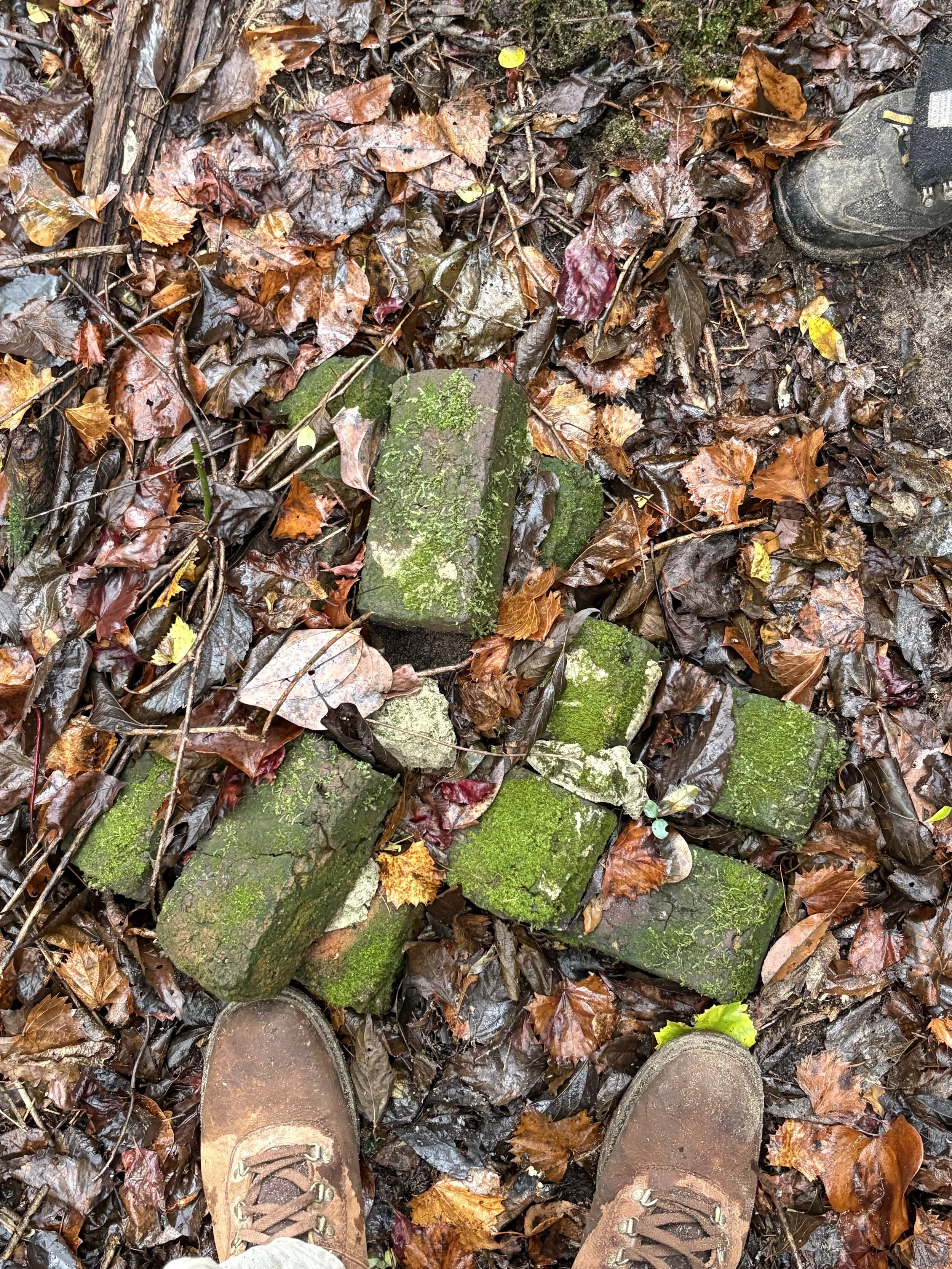
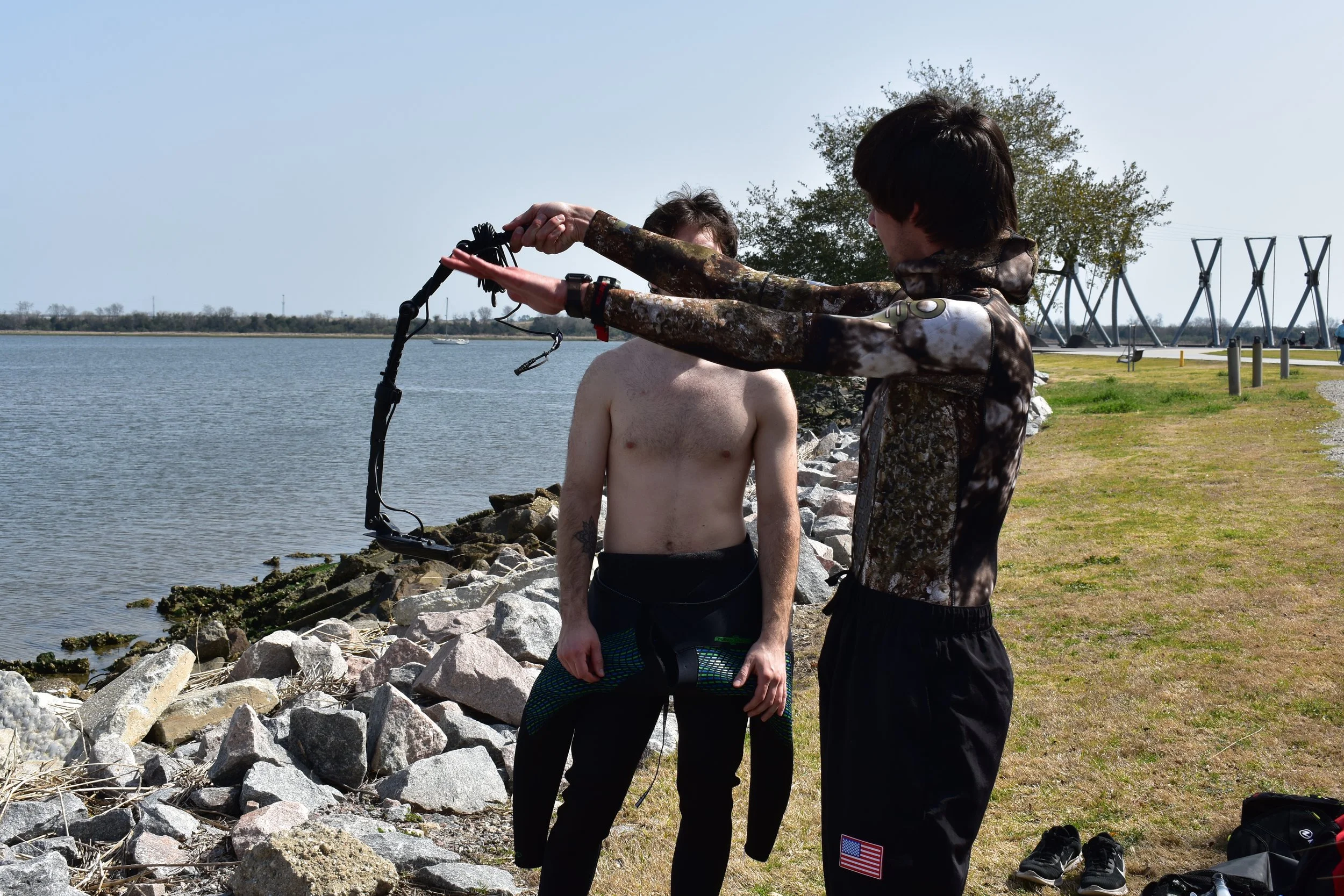
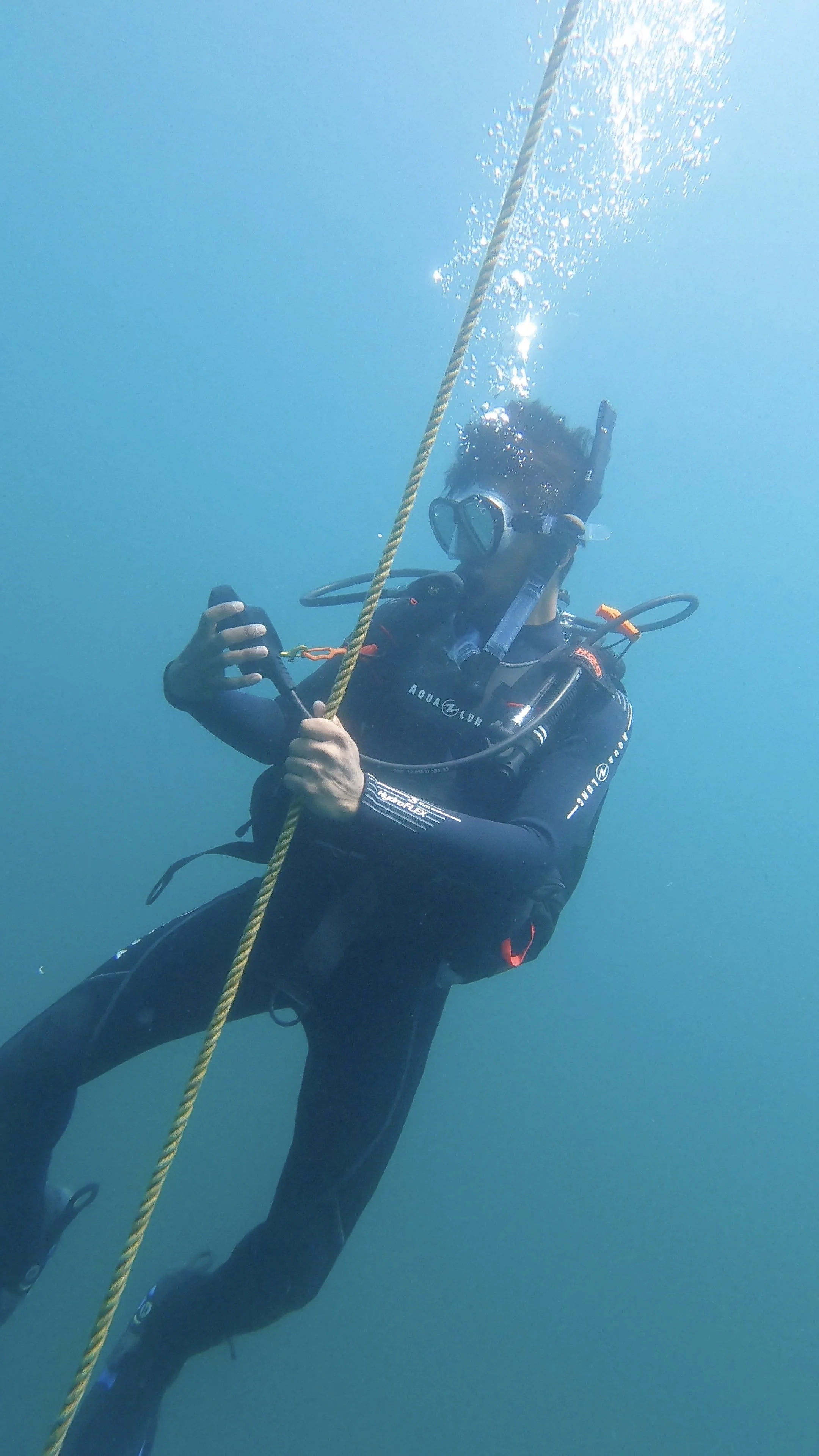
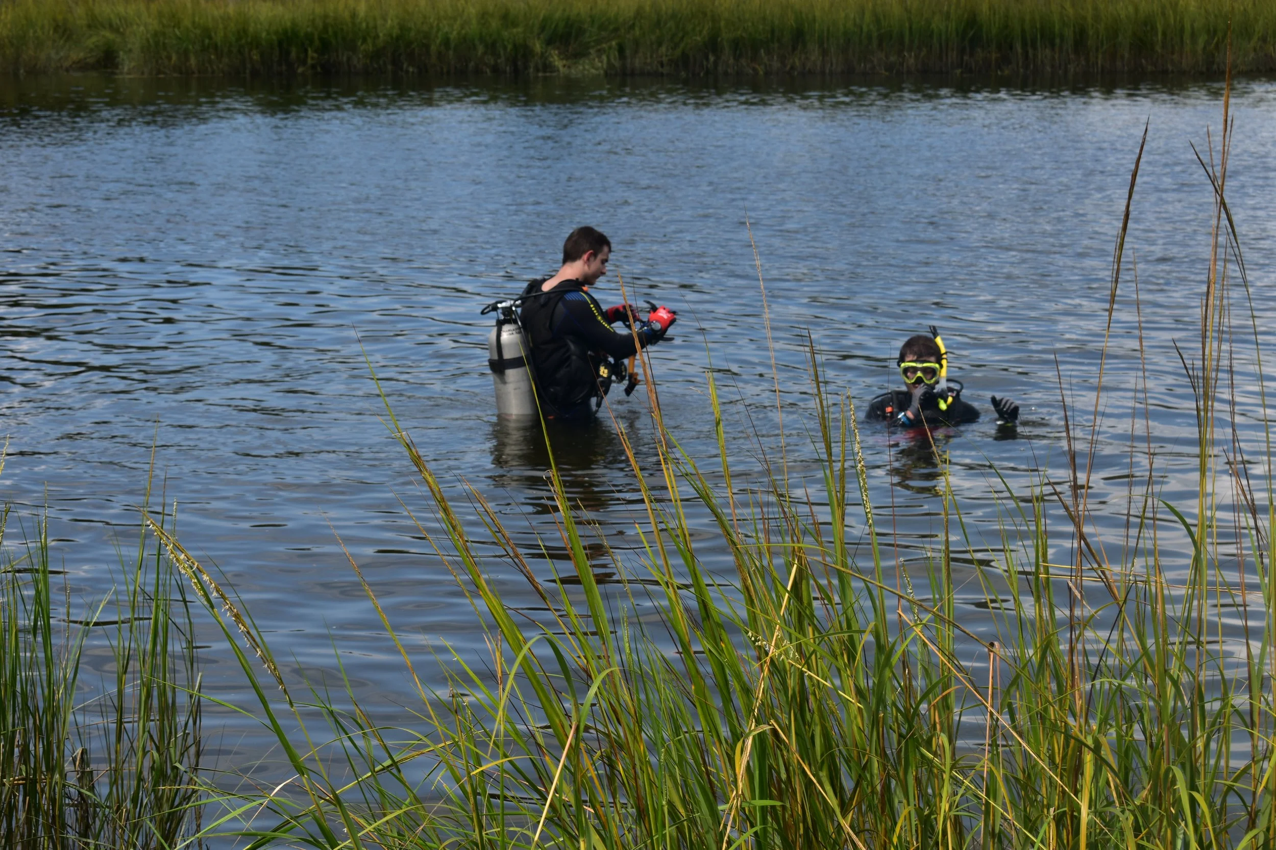
Target Verification: Systematic surface inspection, pedestrian survey, or diving operations to evaluate remote sensing targets across varied terrain. Our field teams coordinate structured ground walkovers and sub-surface sweeps to examine specific structural or historical targets highlighted during broader sensing operations. This direct, hands-on verification allows primary teams to confirm target identities and capture crucial environmental details without disrupting vulnerable material contexts.
Anomaly Assessment: Determining if subsurface anomalies are cultural features, historical artifacts, or natural variations. We evaluate localized spatial data and acoustic readings to distinguish between natural terrain changes and true archaeological footprints. This practical field review helps isolate faint sub-surface shapes, allowing research groups to trace older pathways, agricultural modifications, and foundational outlines with clear evidence.
Rapid Field Deployment: Efficiently clearing survey areas to isolate high-priority targets and delineated zones for primary research teams. Our personnel deploy quickly to organize search tracts, flag prospective features, and map out critical operational sectors. This straightforward sorting phase delivers well-organized spatial references and clear mapping layouts that project directors can easily use to focus their active field resources.
DATA RECOVERY
When physical extraction or meticulous recording is required, we provide the specialized operational support to ensure zero data loss.
Precision Excavation Support: Assisting with controlled stratigraphic sampling, test pitting, and shovel testing across varied field environments. Our personnel work alongside your primary investigators to manage manual sediment clearance and track localized soil profiles, keeping material layers perfectly sorted throughout the excavation layout.
Meticulous Documentation: Field drafting, photography, profile recording, and precise artifact provenience tracking to capture every field observation. We compile detailed hand-drawn profiles, high-resolution feature photos, and clear physical measurements to deliver well-organized spatial references that primary research teams can comfortably rely on.
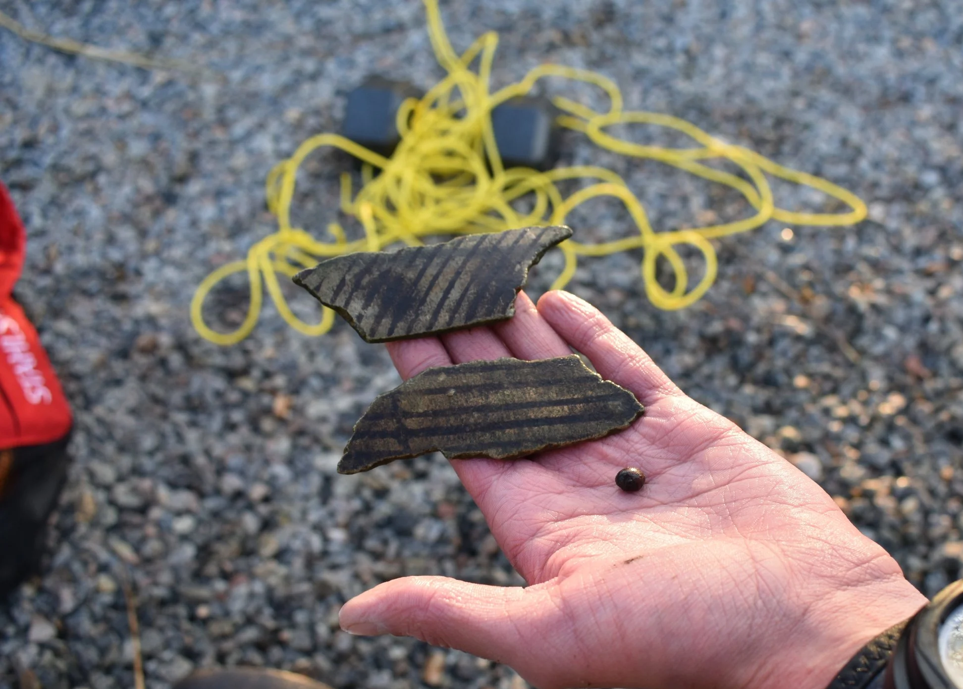
Maritime Recovery Assets: Specialized underwater documentation and baseline measurement control for submerged data recovery projects. Our diving teams deploy physical reference lines and baseline measuring matrices directly on the bottom to track material scatters, diagnostic objects, and structural features with consistent measurement accuracy.
ARCHIVAL HISTORY
Repository Navigation: Deep-dive research across historical societies, state archives, and local deed offices to construct a solid documentary baseline for your project area. Our researchers look closely into regional records, early patents, tax rolls, and manuscript collections to unearth critical primary documentation. By gathering these historical files early, we help project directors piece together an unbroken timeline of past land ownership and occupation.
Landscape Evolution: Reconstructing land-use histories by synthesizing historic plats, maps, and early aerial photography to track changing environments across centuries of human activity. Using standard mapping software, we look at how land boundaries, road networks, and natural resources shifted over time. This detailed historical tracking lets teams visualize the early layout of a site, converting old cartographic files into practical guides for active fieldwork.
Predictive Context: Analyzing archival data to narrow down high-probability zones before deploying field crews to save valuable time and resources. We evaluate historic land use and regional settlement patterns against environmental data to identify areas with the highest likelihood of archaeological sensitivity. This preparatory analysis provides project leaders with a well-organized planning framework, allowing them to focus field layouts on the most critical sectors.